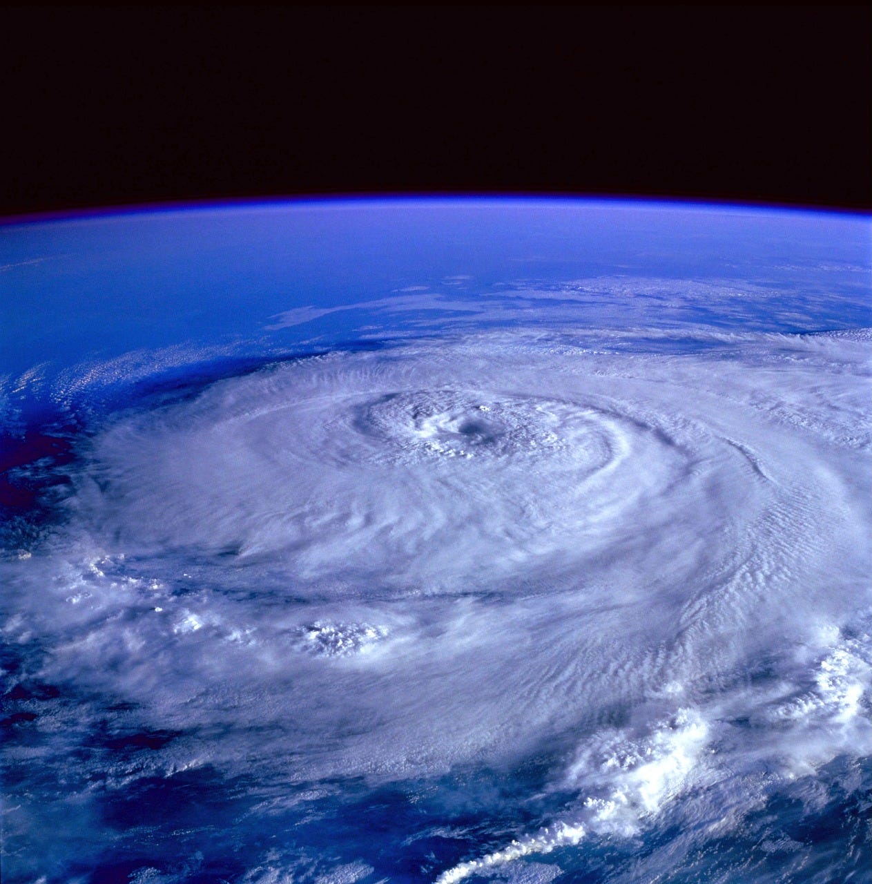
Draw your own permaculture site part 3: Climate resiliency
How will you adjust your site design related to the abundance or lack of water related to weather events?
A permaculture design for your site sets it up for climate success. In 2018, SUSTAINABILITY published research that analyzed scientific evidence for all permaculture principles, and it found that permaculture “provides principles to guide the design, implementation, and maintenance of resilient agroecological systems.”
At this point you have at least one base map to work from. Now you can use the base map to build designs that have adaptive capacity for extreme weather events.
Fire and flood management. Topography and vegetation on your site play big roles in water runoff direction and flood and fire management. For example, if you’re in a dry area and have a lot of pine trees on an incline or ridge, you could identify that area is a potential fire risk. Pine straw is flammable, and if it’s collecting on a ridge where precipitation runs off and no natural creaks flow, the risk is higher. This might prompt a tree removal and new plantings, like creeping raspberries.
Perhaps the site has a 2’-wide creek running through it, but during extreme weather events like a hurricane, the creek might expand to 10’ wide. Considering the existing conditions and the extreme conditions can help you manage the site with an eye for resiliency.
Update 2024: In the aftermath of Hurricane Helene, excessive flooding has changed how people think of their landscapes. If you know of beekeepers impacted by the storm, check out my resources for WNC beekeepers that can help them replace their hives and hive equipment lost or damaged by Hurricane Helene.Forecast. While no tool will predict the future, you can take some steps to model different scenarios and design to prevent issues.
Observe. One of the best things you can do is to watch the site. Look at it during varying times of the day, season, and in different weather. Knowing the downspout off a structure directs water one way seems logical when it’s not raining, but if you come back while it’s raining you might notice that water is eroding the soil below it and creating its own streams back to the foundation of the structure. It could prompt a longer downspout, a rain barrel, strategically sited water-loving plants, or another approach.
To get real-time feedback on your site, install a weather station. We’re looking at different models to add so that we can see current weather data and watch trends specific to our property. This adds an automated layer of observation so that you can focus on what’s physically happening on your site.Analyze risk. Check the map services outlined in Post 2 of this permaculture design series. You’ll learn about one that allows you to use GIS and other mapping software to identify if properties are in floodplains. In the United States, search for your town or county plus “resilience plan” and you’ll find a public plan that addresses the unique risks of your region. Apply those risks to your site and how your design responds to them. You’ll likely find previous storm or extreme event summaries. This will likely include details as natural as rainfall, to detailed metrics about infrastructure. For example, in checking my county’s hurricane response plan from five years ago, the storm that passed through closed the interstate for a week. What if I was relying on livestock feed being delivered by truck on that interstate? Knowing how vulnerable that stretch of highway is during a storm can influence how I use my site. Maybe I choose to design space on the site to grow some of our livestock’s feed, which would add an extra layer of protection after a storm.
Weather patterns. Research how the jet stream, polar vortex, and El Nino/La Nina patterns influence your site. Earth Nullschool provides various real-time data across the globe.
Target. Are you planning to use solar-powered systems on the site? Google Maps Platform (fee required) launched a Solar API that allows remote solar panel design and provides the number of annual sunshine hours for properties.
You might live in a region, like me, where there’s an abundance (and likely increasing) amount of annual rainfall. Droughts may seem like something to dismiss, however, consider how you would manage your site in a drought. Are existing plant species known for surviving dry conditions? Do you have rain catchment systems? Consider the other extreme: What if your site (like many folks in Vermont this year) flooded under several feet of water? Would tree root systems loosen and pose a fall risk? Would spaces where you keep livestock remain safe ground? Designing for extremes helps preserve long-term resiliency.
According to the International Fund for Agricultural Development’s MEASURING CLIMATE RESILIENCE guide, some characteristics of resilient systems include strong assets, diversity, innovate, and add layers of redundancy (e.g., rain tanks storing water for times of drought means no interruptions for crop growth or drinking water, or utilizing swale systems creates natural water collection spaces).
When you’re ready to design your future site with resilient features and systems, visit The U.S. Climate Resilience Toolkit. This toolkit includes free spreadsheets that you can download and use for planning. The kit is structured more for community use, but you can easily tailor it to personal application.
Consider how many layers of information you have available with just the few tools I’ve referenced in this permaculture design series. Know that you’re only touching the tip of the tip of the iceberg. The abundance that permaculture produces is also inherent in the resources built around it.
Permaculture design series and Q&A
Let me know if you have questions about designing for climate resiliency. The September 19 live Q&A Zoom session at 7 p.m. ET is for paid subscribers only. Zoom invite included in the next section.


